Hurricane Erin's Impact on the East Coast
Hurricane Erin is causing significant disruptions along the East Coast, with high tides and powerful waves battering coastal areas. The storm has prompted an expansion of tropical storm and coastal flooding advisories, as residents and officials brace for the worst.
Beachfront property owners are preparing for potential damage as predictions of a storm surge of up to 4 feet and significant coastal erosion loom. Waves of 15 to 20 feet are expected to hit beaches, particularly in North Carolina, for 48 hours or more as the hurricane moves northward offshore through at least Thursday.
At 11 p.m. ET on Wednesday, the National Hurricane Center reported that tropical storm conditions were at or near portions of the North Carolina coast. By 10:20 p.m. ET, the National Weather Service said about 7.7 million people were under coastal flood warnings, while nearly 32 million were under coastal flood advisories along the East Coast.
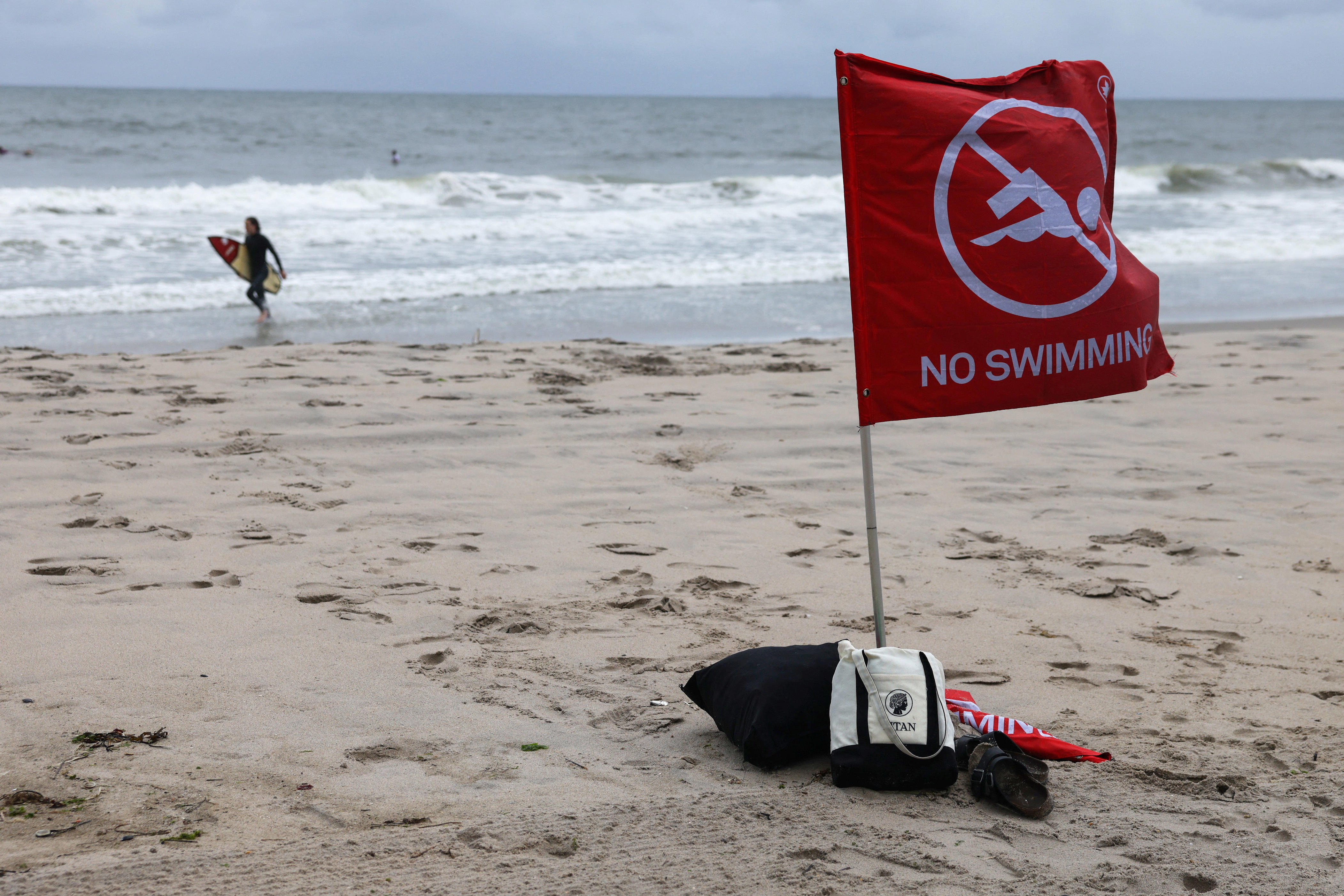
Earlier, the hurricane center noted that the outer bands of Erin were brushing the North Carolina Outer Banks and warned that swimming at most East Coast beaches is strongly discouraged due to life-threatening surf and rip currents.
Some slight strengthening is possible tonight and Thursday morning, and Erin could become a major hurricane again during that time. However, weakening is likely to begin Thursday night or Friday, but Erin is forecast to remain a hurricane into the weekend.
The hurricane center reported that Erin was carrying sustained winds of 110 mph, the upper end of a Category 2 storm. Winds are forecast to continue increasing to 120 mph, meaning it could become a Category 3 storm later in the day.
Despite being hundreds of miles offshore, Erin’s impacts are expected to worsen as it crawls north and makes its closest approach to the U.S. mainland, likely early Thursday. The storm generated waves of 35 feet or more at an ocean buoy east-northeast of the Bahamas on Tuesday, creating swells and stirring up a broad swath of the ocean.
Major Flooding Forecasts
Major flooding is forecast on Aug. 20 at more than a half-dozen tidally influenced locations along the mid-Atlantic coast, including at Duck, North Carolina, around the entrance to the Chesapeake Bay, and at Lewes, Delaware. The National Weather Service warned that flooding at some of these locations would result in a "significant threat to property and life and require evacuations."
On Chesapeake Bay at the Bay Bridge Tunnel, the tide is forecast to reach 6 feet high, which could cause severe flooding with extensive inundation and a significant threat to property and life. The severe flooding would extend inland, flooding waterfront and shoreline homes and businesses, and some areas would need to be evacuated.
The 8.7-foot tide forecast at Oyster, Virginia, would send water levels up by 2 to 3 feet above dry ground, with weather service data showing severe flooding would extend inland, flooding homes and businesses, making some roads impassable under several feet of water, requiring evacuations.
A 7-foot forecast for the gauge at Duck would be less than a foot from the record height set during historic Hurricane Isabel in 2003.
State Actions and Warnings
North Carolina Governor Josh Stein urged residents and visitors to remain vigilant as the state prepositioned swift water rescue teams, state National Guard troops, boats, high-clearance vehicles, and aircraft. Two helicopters from neighboring states were also on standby to transport food and water.
State officials warned that Erin will cause extensive beach erosion, and coastal flooding may impact roads, structures, and vehicles throughout the week. North Carolina Emergency Management Director Will Ray urged residents to not drive around barricades or through flooded waters.
Portions of North Carolina Highway 12 were closed due to flooding, with the highway closed between Oregon Inlet and Hatteras Village. Officials advised drivers to avoid floodwaters, emphasizing safety.
Widespread coastal flood advisories were issued in New York City, with flooding expected across much of the waterfront from Aug. 21 to Aug. 22. Officials advised people near coastal areas to move cars to higher ground before high tide and to protect basements, which are often converted into apartments.
NASA Invites Public Participation
NASA is inviting the public to participate in a new citizen science effort called NASA Response Mappers. The project aims to help improve emergency disaster response by asking people to submit their hurricane-related photos. Those who live in the Southeast U.S. are invited to submit photos taken before and after hurricanes hit their area.
Other Potential Storms
In addition to Erin, forecasters are watching two other areas of disturbed weather far out in the Atlantic Ocean. Neither currently appears to be a threat to any land areas, but both have a medium chance of becoming tropical depressions later this week or over the weekend.
Outer Banks Preparations
Along North Carolina's Outer Banks, which is under a state emergency order, tides and waves began building on Aug. 19, even with Erin still more than 500 miles away. As an afternoon high tide approached in Buxton, ocean waves already were rushing under some beachfront structures on pilings and washing over portions of Highway 12, the main transportation artery for the islands.
State officials said it’s likely that Highway 12 along the Outer Banks of North Carolina could be impassable for several days after the storm, given the duration of Erin's high tides and pounding waves. Evacuations were underway for visitors and others who wouldn't feel safe with the only highway closed for several days.
Forecast Details
New York: Widespread dune erosion and beach flooding are likely with successive high tides through Friday morning, with waves of up to 15 feet or more and higher-than-normal tides. Gusts up to 40 mph are possible, with the highest winds expected along eastern Long Island.
New Jersey/Delaware: Tropical storm-force gusts are possible along the coast on Thursday, breaking waves of 5 to 8 feet on Wednesday and 7 to 11 feet on Thursday.
Maryland: Higher tides could lead to coastal flooding, and winds are expected to increase over Chesapeake Bay overnight Wednesday. Coastal flood advisories were issued, including a flood warning for Annapolis, where flooding is expected in the low-lying historic community.
Virginia: Minor or isolated coastal flooding is expected through the weekend.
South Carolina and Georgia: “Significant” ocean swells are expected, with breaking waves of 6 feet or higher through Wednesday night, with the period of greatest concern expected during Wednesday night's high tide. Coastal flooding is also possible, but major flooding is not forecast.
Florida: As with all other states to its north, Florida is expecting a high risk of life-threatening rip currents north of Palm Beach County. In South Florida, largely spared the brunt of Erin’s ocean activity, the weather service warned conditions could get rougher once the storm passes and starts to blow ocean waves in from the north.


